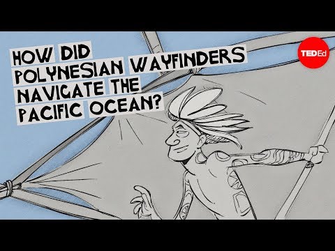
How did Polynesian wayfinders navigate the Pacific Ocean? - Alan Tamayose and Shantell De Silva
Learn more about TED-Ed Clubs here: https://ed.ted.com/clubs Visit the TED-Ed Clubs YouTube channel: https://www.youtube.com/channel/UCskU_g7t6b5ecsA1CTS3y9Q View full lesson: https://ed.ted.com/...
==========
Imagine setting sail from Hawaii in a canoe. Your target is a small island thousands of kilometers away in the middle of the Pacific Ocean. That's a body of water that covers more than 160 million square kilometers, greater than all the landmasses on Earth combined. For thousands of years, Polynesian navigators managed voyages like this without the help of modern navigational aids. Ancient Polynesians used the Sun, Moon, stars, planets, ocean currents, and clouds as guides that allowed them to see the ocean as a series of pathways rather than an obstacle. Their voyages began around 1500 B.C. when the people who would settle Polynesia first set sail from Southeast Asia. Early Polynesians eventually settled a vast area of islands spread ...
==========
Imagine setting sail from Hawaii in a canoe. Your target is a small island thousands of kilometers away in the middle of the Pacific Ocean. That's a body of water that covers more than 160 million square kilometers, greater than all the landmasses on Earth combined. For thousands of years, Polynesian navigators managed voyages like this without the help of modern navigational aids. Ancient Polynesians used the Sun, Moon, stars, planets, ocean currents, and clouds as guides that allowed them to see the ocean as a series of pathways rather than an obstacle. Their voyages began around 1500 B.C. when the people who would settle Polynesia first set sail from Southeast Asia. Early Polynesians eventually settled a vast area of islands spread ...